Radford University
Past Trips
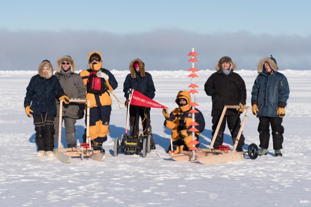
Every trip to Utqiagvik, Alaska was build upon the previous trip. The focus: sea ice, and how it impacts the Earth's climate. Rhett Herman, Ph.D., and his student researchers have used a variety of equipment to test theories, answer questions and develop new approaches to studying the arctic and its influence. Check out the gallery below to learn more about the past trips and what the teams learned and encountered in their adventures.
2016 Research
The research for the 2016 expedition is an evolution of what has come before. This research is a contributor to the methodology of studying the thermal balance of our planet. The goal of this trip is to investigate parts of the thermal balance and properties of the arctic sea ice, and to develop a methodology for such studies.
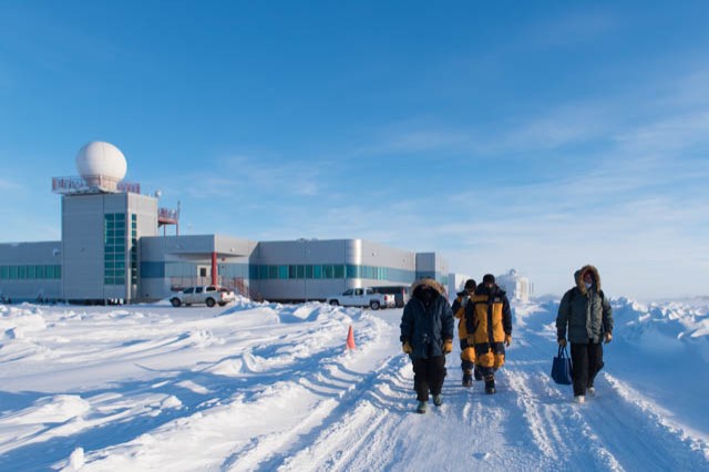
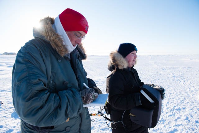
The 2016 Arctic Geophysics trip, much like years past, brings together students from a variety of majors as they conduct research in one of the frostiest and most unpleasant climates in the world.
Students from Radford University's College of Science and Technology and the Southwest Virginia Governor's School will be conducting scientific research together.
2014 Research
The purpose of the 2014 trip was to investigate a possible correlation between the surface temperature of arctic sea ice and the thickness of the sea ice.
On a trip in 2012, data collected suggested these quantities were correlated. Unfortunately, there was not enough data collected to statistically prove the correlation. The 2014 trip focused on collecting both thermal and resistivity data that will be correlated to data collected by drilling into the sea ice.
In order to determine the total volume of the north polar sea ice cap the researchers needed to collect sea ice thickness data. Pairing the thickness of the sea ice with already established knowledge of the surface area allows for the volumetric calculation of the sea ice. Knowledge of the volume of the sea ice will allow a more accurate assessment of the extent of the ice and rate at which it is melting.
Current methods of determining thickness are time consuming and often cover only small areas. The bottom of the sea ice isn't smooth which further complicates the ability to accurately measure the thickness.
If the team can establish a strong correlation between surface temperature and sea ice thickness, then they will be able to state that a specific surface temperature indicates a specific thickness. By using current thermal instrumentation, the research team hoped to confirm this correlation.
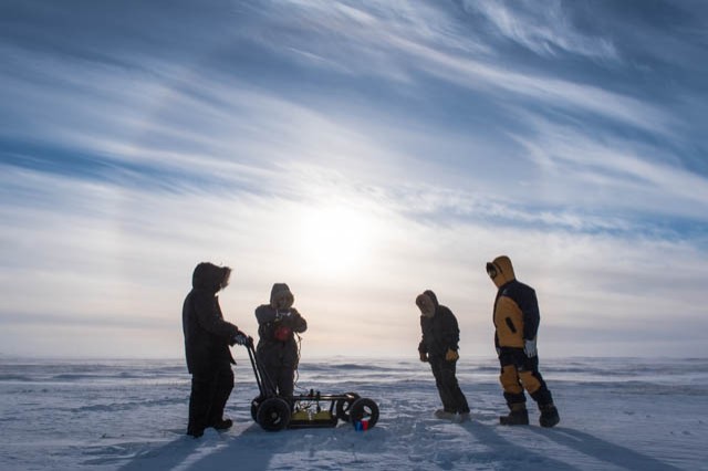
The team worked to investigate this correlation by deploying a custom thermal infrared sensor that has been developed, built, tested, and redesigned based on student input from previous trips. The sensor will be used on the surface of the sea ice simultaneously with an electrical resistivity array, which measures how well an electrical signal is transmitted through different materials.
Specialized software uses the surface resistivity data to build a cross-sectional image of the electrical properties of the ice. The depth of the ice is determined where the electrical properties of the ice yield to those of the water.
While the software can make a reasonable approximation of this ice/water boundary, it is still a model, and thus requires drilling in a statistically-significant number of locations to make an exact determination of that boundary. Therefore the drilling is the key component that ties the resistivity readings to the actual sea ice thickness, which is then correlated with the surface temperature. The researchers also explored other methods of obtaining sea ice surface temperatures to extend the current methods.
